Archives
Meta
Archives
Meta
Schlagwort-Archive: map
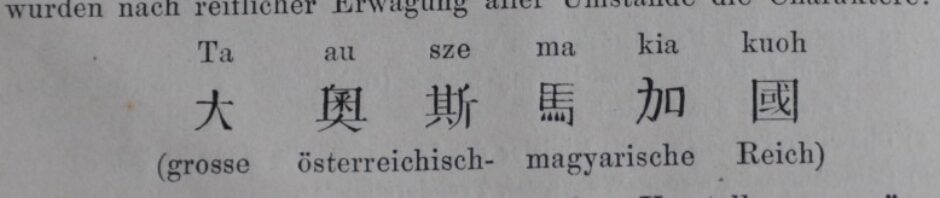
[Atlas de la Chine]
中華民國一統分圖 [Atlas de la Chine, en japonais] ([s.l.] [s.n.] (Imprimé au Japon) 1911[?]) Digitized: Gallica Bibliographic reference: – Note: 12 maps and 70 pages of text, varying scales No copy listed in Wiener China-Bibliographie
Kettler (ed.): China, Japan und Südasien [map]
Julius Iwan Kettler, Alois Bludau, Otto Herkt: China, Japan und Südasien [map, 1:10.000.000] (Berlin: Flemmings Kriegskarte 18; Berlin/Glogau: Flemming, 1915) Digitized: SBB-PK No copy listed in Wiener China-Bibliographie
Veröffentlicht unter digital, Not in WCB, SBB - PK
Verschlagwortet mit 20c, Asia, First World War, K, map
Kommentare deaktiviert für Kettler (ed.): China, Japan und Südasien [map]
Blaeuw: Asia noviter delineatio [map]
[Willem Jansz Blaeu:] Asia noviter delineata auctore Guiljelmo Blaeuw ([Amsterdam] 1640) Digitized: gallica Bibliographic reference: Bnf notice du catalogue Note: map, 41 x 55,5 cm, No copy listed in Wiener China-Bibliographie Map from Theatrum Orbis Terrarum, sive atlas novus. Pars … Weiterlesen
La Grange-Chancel: Plan et carte particulière de la rivière de Cantong et ses environs …
[Louis de la Grange-Chancel:] Plan et carte particulière de la rivière de Cantong et ses environs et depuis l’isle de Sancien jusque à celle de Makao levé et faict par de Lagrange (1698) Digitized: Gallica Bibliographic reference: Bnf notice du catalogue … Weiterlesen
Veröffentlicht unter digital, gallica, Not in WCB
Verschlagwortet mit 17c, cartography, G, manuscript, map
Kommentare deaktiviert für La Grange-Chancel: Plan et carte particulière de la rivière de Cantong et ses environs …
[Speedle:] The Kingdom of China nawly angmented [map]
[John Speedle] The Kingdom of China nawly angmented by I.S… The Germanian (London: G. Humble 1626) Digitized: Gallica Bibliographic reference: Bnf notice du catalogue Note: map, scale: ca. 1:15 875 000 No copy listed in Wiener China-Bibliographie
[Carte hollandaise manuscrite de l’Ile de Formose]
[Carte hollandaise manuscrite de l’Ile de Formose] (17c.) Digitized: Gallica Bibliographic reference: BnF Notice du catalogue : No copy listed in Wiener China-Bibliographie
[Carte hollandaise manuscrite des îles Ponghou]
[Carte hollandaise manuscrite des îles Ponghou] (17c) [manuscript] Digitized: Gallica Bibliographic reference: Bnf Notice du catalogue Note: map, manuscript, 62,5 x 46,5 c
Veröffentlicht unter digital, gallica, Not in WCB
Verschlagwortet mit 17c, geography, manuscript, map
Kommentare deaktiviert für [Carte hollandaise manuscrite des îles Ponghou]
[Carte nautique de l’Océan Indien et des mers de Chine] (ms., map)
[Carte nautique de l’Océan Indien et des mers de Chine] Duytsche mylen men tester 15 een graed [ 85 mylen = 96 mms]. By mij Evert Gysberts soon caert Schryver tot Edam. (1599) Digitized: Gallica Note: map, mansucript, 74 x … Weiterlesen
Veröffentlicht unter digital
Verschlagwortet mit 17c, manuscript, map
Kommentare deaktiviert für [Carte nautique de l’Océan Indien et des mers de Chine] (ms., map)
Nette afteekening van de rivier Pekingh in Sina … [ms., map]
Nette afteekening van de rivier Pekingh in Sina heel groot bestek geleegen in de Indische zee (17c) Digitized: Gallica Bibliographic reference: Bnf Notice du catalogue Note: 1 map in 2 parts, manuscript, 105 x 63,5 cm
Veröffentlicht unter digital, gallica, Not in WCB
Verschlagwortet mit 17c, geography, manuscript, map
Kommentare deaktiviert für Nette afteekening van de rivier Pekingh in Sina … [ms., map]
Pichon: Carte de Yünnan et du Tonkin
Albert Pichon: Carte de Yünnan et du Tonkin (1885) Digitized: Gallica No copy listed in Wiener China-Bibliographie